
The town of Malison Falls (including the villages of Garrett Falls and Malison Falls) is a town located in Schoharie County, New York. The town is southwest of Albany, and east of Oneonta and Cooperstown (both located in Otsego County). The town and villages are located immediately west of the Petersburg State Forest on route 4, between Warnerville and West Fulton. As of the 2010 census, the village had a population of 7,281.
History
This area was long occupied by indigenous peoples; in the historic period, the Mohawk people, one of the Five Nations of the Haudenosaunee, or Iroquois Confederacy, dominated this territory, ranging up to the St. Lawrence River and east to the Hudson.
The villages of Garret Falls and Malison Falls were initially settled in 1697 by 2 German (the Garrets and the XXX) and 2 Scottish families (the Malisons and the XXX) in 1699, respectively. By the late 1720s, the two communities had swelled to 38 families of various ethnicities and religious beliefs.
The village of Malison Falls proper was established in 1762 by XXX Malison, the grandson of Pierre Malison. By 1762, the Malison family had established a significant lumber company, supplying the area with wood products for miles around and in the process thinning out the area east of Malison Falls and paving the way for the expansion of the village and the eventual growth into the town of Malison Falls.
The village of Garret Falls proper was established in 1783 by Wilson Garrett, a descendant of the original Garret family to settle in the area. The village was originally named Garrett Falls, for the first family who settled the site and built a grist mill off from the western side of Middle Malison Falls. The Wilson family operated their mill in Garrett Falls for over 15 years until, in 1798, Wilson Garrett sold his mill to Abraham Warren. From 1800 to the 1850s, the Warren family established additional mills in the area and the population of the community continued to grow. In 1869, Garrett Falls merged with Malison village, another town on the other side of Malison Creek, creating Malison Falls.
Due to the availability of water power, Malison Falls developed as a milling and industrial center prior to the Civil War. During the American Civil War, the Warren family sold their mills to Lawrence C. Brumfield, a savvy business tycoon and historian from England. Toward the end of the war, L.C. Brumfield established the Civil War Soldiers’ Orphans Home in Malison Falls, which changed the direction in which the city developed. Following the war, the orphanage became the first building on the campus of the Brumfield Antiquarian School (now Brumfield University).
Notable People from Malison Falls
Historic Celebrations
The town’s founders are honored each year with a week long community-wide celebration named in their honor – the Garrett Falls Celebration.
Historic and Notable Locations
The Blumfield Manor House, Lambert-Collins House, The Reyes House, Bailey Manor, and Lassiter Site are listed on the National Register of Historic Places. The Wilson Garrett Mill was added in 1978, the Abraham Warren House in 1982, and Blumfield Orphanage in 1986.
The Weird and Wild of Malison Falls
Historically, Malison Falls has seemed to be the center of the strange and weird happenings throughout its relatively short history. Haunted buildings, odd sightings in the middle of the night, a higher than average murder rate than the rest of the country, stories of witches and other supernatural beings, and other, even more strange happenings have all been reported in this quiet backwater of New York state.
The Enerlein Witch Incident
Malison Falls
Town
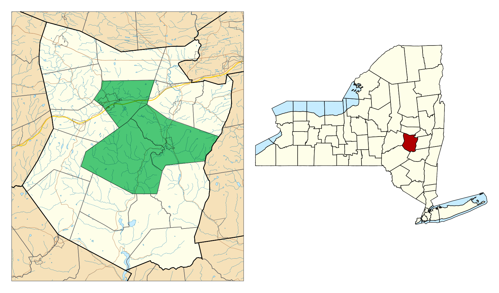
Location in Schoharie County and the state of New York.
Coordinates (town center): 42°37′38″N 74°28′06″W
| Country State County | United States New York Schoharie |
| Settled Established | 1697 1783 |
| Area • Total • Land • Water | 48.85 sq mi (126.52 sq km) 36.15 sq mi (93.62 sq km) 12.70 sq mi (32.90 sq km) |
| Elevation | 1623 ft (494.7 m) |
| Population • Total • Density Population • Total • Density Population • Total • Density | (In 1955) 7,212 199.50/sq mi (77.03/sq km) (In 1975) 7,647 211.54/sq mi (81.68/sq km) (In 1995) 7,473 206.72/sq mi (79.82/sq km) |